

PROPERTY BOUNDARY
SURVEYS.
Need a property boundary survey in Georgia? Geo Survey Construction provides boundary survey support to help identify property lines and site conditions. Each engagement is scoped around available records, field evidence and the intended use of the survey.
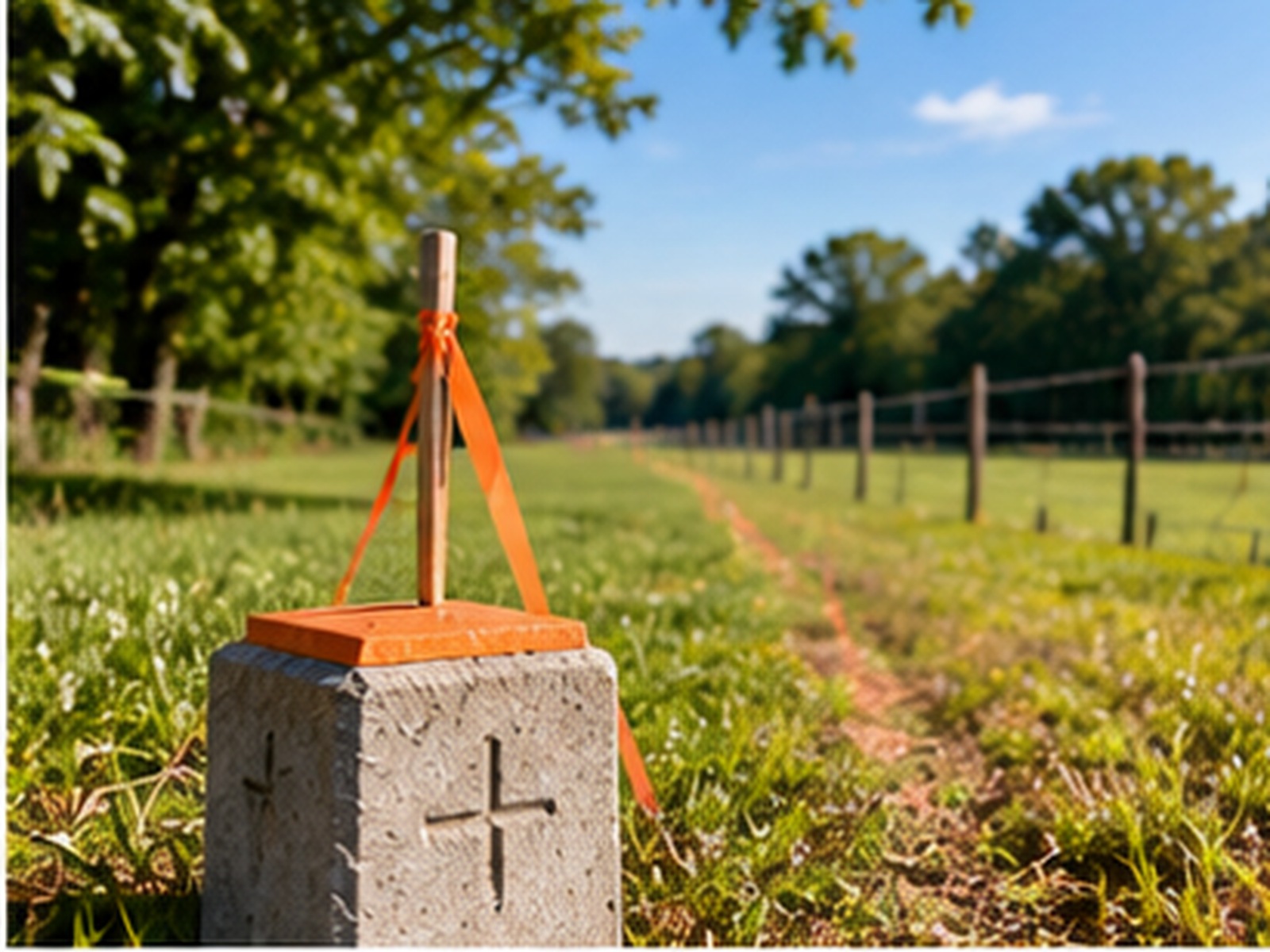
BOUNDARYProject-specific field data
Field WorkSite-specific measurements
ControlCoordinates & elevations
DeliverablesDefined project outputs
Service AreaGeorgia & selected U.S. locations
Clear property information.
Grounded in records and field evidence.
Boundary survey work may involve review of recorded documents, research, field observations and preparation of survey deliverables appropriate to the agreed scope and applicable requirements.
Record Research
Review available deeds, plats, legal descriptions and relevant property records.
Field Evidence
Locate and evaluate existing monuments, occupation evidence and site features relevant to the scope.
Boundary Analysis
Reconcile record information and field observations to develop the boundary survey.
Survey Deliverables
Prepare drawings and documentation defined by the engagement and applicable professional requirements.
Property boundaries
require careful evaluation.
The approach depends on property history, record quality, site access, evidence found in the field and the intended use of the survey.
Deeds & Plats
Review available property descriptions, recorded plats and supporting documents.
Survey Measurements
Collect measurements and observations relevant to the property and survey scope.
Boundary Evaluation
Compare record information with field evidence and applicable survey standards.
Survey Plat
Provide the agreed survey documentation and explain scope-specific findings.
From property records
to documented survey results.
Define the Purpose
Confirm the property, intended use, schedule and requested survey deliverables.
Review Available Records
Gather relevant deeds, plats, legal descriptions and supporting property information.
Complete Field Survey
Conduct site observations and measurements based on access and agreed scope.
Prepare Deliverables
Evaluate findings and prepare the agreed survey documentation.
Supporting property owners
and real estate professionals.
Boundary survey services may support property transactions, land planning and other needs where property line information is required. Boundary survey information may also support commercial land surveys and early construction layout planning.
Property Owners
Property line information for ownership and planning needs.
Real Estate
Survey documentation requested during property due diligence.
Land Development
Boundary information to support early-stage site planning.
Commercial Property
Property survey support for commercial sites and project planning.
Boundary Surveys in Georgia
questions answered.
What is a boundary survey?
A boundary survey evaluates property lines using available records, field evidence and applicable professional surveying standards.
What documents should I provide?
A property address or parcel identification and any available deed, plat, prior survey or legal description.
Can a boundary survey identify property corners?
Locating or recovering boundary corners may be included when supported by the records, evidence and agreed scope.
How long does a boundary survey take?
Timing depends on property size, record complexity, access, field conditions and required deliverables. A schedule is confirmed after review.
Need a boundary survey
for your property?
Send the property location and any available survey or deed documents. GSC can review the request and confirm the appropriate scope.
