

TOPOGRAPHIC LAND
SURVEYS.
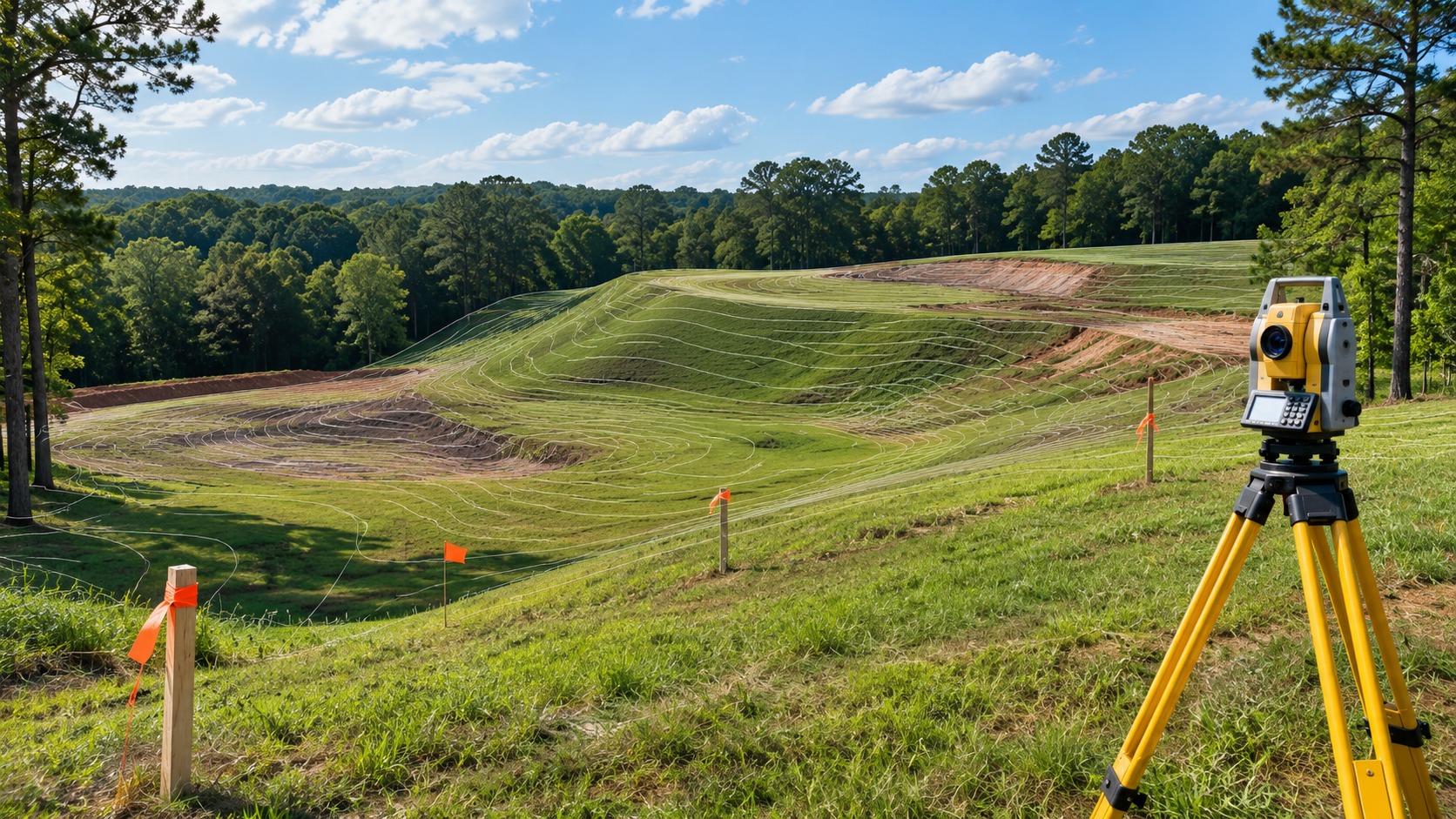
Topographic surveys in Georgia document ground elevations, contours and visible site features to support planning, design and construction. Geo Survey Construction scopes field measurements and digital deliverables around project limits, survey control and intended use.
TOPOGRAPHICProject-specific field data
Field WorkSite-specific measurements
ControlCoordinates & elevations
DeliverablesDefined project outputs
Service AreaGeorgia & selected U.S. locations
Know the site
before you design it.
Topographic surveys capture selected horizontal and vertical site information. Survey limits, feature collection, contour intervals and deliverable formats are defined by the project scope. This information can also support site and civil engineering planning.
Ground Elevations
Collect spot elevations and terrain information within the agreed survey limits.
Contours & Terrain
Represent site topography using contour information appropriate to the project.
Visible Site Features
Locate selected improvements, structures, pavement and other visible features as scoped.
Digital Deliverables
Coordinate survey drawings and digital files with the design team’s requirements.
Useful topographic data
starts with reliable control.
Survey methods, density and deliverables depend on terrain, vegetation, access, project tolerances and design needs.
Survey Control
Establish or verify control references appropriate to the survey.
Total Station
Collect detailed positions and elevations for selected site features.
GPS / GNSS
Support control and data collection where satellite conditions and project needs allow.
CAD / Survey Files
Prepare agreed drawings and digital data for design coordination.
From field measurements
to design-ready site information.
Define Survey Limits
Confirm property boundaries, survey extents, purpose and required features.
Review Available Data
Gather prior surveys, control information, plans and design requirements.
Collect Field Information
Measure terrain and visible features within the agreed survey limits.
Prepare Survey Deliverables
Process and present the agreed topographic information and digital files.
Site data for
informed project planning.
Topographic survey information supports design teams that need a reliable picture of existing site conditions.
Land Development
Terrain and site feature information for early planning.
Civil Engineering
Existing elevations and features for grading and drainage design.
Commercial Sites
Survey data for building and site improvement projects.
Residential Property
Topographic information for property improvements and development.
Topographic Land Surveys in Georgia
questions answered.
What is a topographic land survey?
It is a survey that documents ground elevations and selected visible site features within defined limits.
Do you provide contours?
Contour intervals and surface representation are determined by the intended use and agreed survey scope.
Can files be delivered in CAD format?
Digital formats can be discussed during scope review and confirmed against the design team’s requirements.
What affects survey timing?
Site size, terrain, vegetation, access, feature density and requested deliverables all affect schedule.
Need topographic survey data
for your site?
Send the property location, survey limits and design requirements. GSC can review the scope and deliverables.
