

CONSTRUCTION LAYOUT
& SURVEYING.
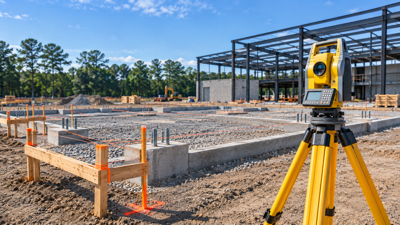
Construction layout surveys in Georgia help commercial and industrial teams transfer approved plans into reliable field references. Geo Survey Construction supports layout, site control and survey checks based on project coordinates, current drawings and site conditions.
CONSTRUCTIONProject-specific field data
Field WorkSite-specific measurements
ControlCoordinates & elevations
DeliverablesDefined project outputs
Service AreaGeorgia & selected U.S. locations
Accurate field layout.
Aligned with the construction plan.
Construction layout translates approved design information into field references that crews can use to position project elements. Scope is coordinated with current drawings, site control and construction sequencing.
Building & Grid Lines
Establish designated building lines, grid intersections and reference points from approved plans.
Points & Offsets
Stake specified locations, offsets and alignment references for construction activities.
Elevations & Benchmarks
Transfer elevations and check vertical references against the project datum.
Field Verification
Check selected locations and dimensions and communicate discrepancies to the project team.
Reliable measurements
for construction decisions.
Survey equipment and methods are selected according to the project scope, accuracy requirements, site access and established control.
Leica TS12
Measure and set out project points, lines and elevations from established control.
Hilti PLT 400
Support point layout and height transfer for designated construction references.
GPS / GNSS Control
Establish or verify outdoor project coordinates and site control where appropriate.
Approved Plans
Coordinate field work with current drawings, revisions and project coordinate information.
From approved plans
to dependable field references.
Review Project Plans
Review current drawings, control information, layout requirements and project schedule.
Confirm Site Control
Verify control points, benchmarks, access and coordinate references before layout.
Set Out Project Elements
Stake the agreed lines, points, offsets and elevations from approved design information.
Check & Coordinate
Perform scope-specific checks and communicate field questions or discrepancies.
For active commercial
and industrial projects.
Construction layout supports teams that need design information transferred to the field in a coordinated and traceable way. For slab-based installation work, layout may also connect with robotic floor layout and printing.
Commercial Buildings
Layout references for building grids, structural elements and interior construction.
Industrial Facilities
Survey layout support for facility construction, equipment zones and expansions.
Site Development
Control and layout support for grading, site improvements and infrastructure scopes.
General Contractors
Field coordination and verification aligned with construction sequencing.
Construction Layout & Surveying in Georgia
questions answered.
What is construction layout surveying?
It is the process of transferring approved design locations, lines and elevations to the construction site using survey control and field measurements.
What information is needed to begin?
Current approved drawings, project coordinates, site access details, schedule and requested layout deliverables.
Can you provide elevation checks?
Elevation transfer and checks can be included when defined in the project scope and supported by suitable benchmarks.
Do you work on industrial and commercial projects?
GSC supports industrial and commercial project scopes in Georgia and selected U.S. locations. Availability and scope are confirmed for each project.
Need construction layout
for your next project?
Share your drawings, site location and schedule. Geo Survey Construction can review the required field layout and survey support.
